
Begin a Wheeling Property Records Search with the Parcel
Collect three things in one note: the current street label, any known older address, and the county parcel key. The Assessor card lists the street and mailing address, the district, map, and parcel numbers, the legal description, and a deed book and page. The Clerk instrument confirms the recorded description. The Sheriff search handles the tax ticket. The WV Property Viewer supplies the map reference. City planning and building files are a separate follow-up, once the question turns to a permit or land use.
- Search the county Assessor by current Wheeling street address or owner name, then copy the district/map/parcel and deed reference.
- Check the Clerk's newest deed and compare its legal description with the card.
- Use the Sheriff's tax search for the ticket, tax year and paid/unpaid status.
- View the candidate parcel in WV Property Viewer and confirm the city line separately.
- Ask the City Planning/Building/Code custodian for address-keyed permit, zoning or historic-review files.
Assessor fields have a county walkthrough. It sits on the Ohio County property search page, which also explains how to carry a parcel key into a recorded plat or deed. The map page covers viewer limits.
Where the Offices Keep Wheeling Property Records
Wheeling title and tax records sit with the county. Land use and construction files sit with the city. A parcel's county identity comes from its Assessor card and the Clerk's deed records. Municipal planning, building, code, historic review, and public-way files add context around that parcel, and the city GIS historic-district layer can flag a review area, but none of it replaces the county parcel record.
Ohio County Records (deeds, taxes, parcels)
Ohio County offices handle deeds, assessment cards, tax tickets and parcel references for Wheeling addresses. The Clerk, Assessor and Sheriff searches are separate from city permits.
Wheeling Permits & Zoning
Planning, Building and Code custodian
City of Wheeling
Address and phone not verified in the reviewed sources.
Request address-keyed permits, zoning, code, historic-review and public-way files.
Wheeling's 1873 Renumbering Matters in Property Records
Wheeling renumbered its streets and house numbers on July 11, 1873. The date matters. One deed can carry two addresses. An older deed or directory may describe the same ground under a former street name or number, so compare the present situs with the Ohio County Public Library's old and new street-name handout before calling a record missing. Then check the Clerk's legal description and the map.
Keep both address forms with the year and source. An old street number is a clue, not a parcel key. The directory occupant is not always the owner. Use the crosswalk to find candidate records; the recorded deed proves which land transferred.
Directory Research for a Wheeling Property Record
The Wheeling Room at the Ohio County Public Library holds city directories dating to 1839. They do not circulate, and access runs through the Reference Desk. Cardholders can also reach many directories remotely through HeritageQuest. Alphabetical entries list residents and businesses. Reverse pages work the other way. They run from street and number to an occupant. Most added reverse-street listings beginning in 1898.
Directories show occupancy, not title. Pair a directory year with a deed and a map before naming a former owner, then see the library's guide to its indexes for Wheeling directories through HeritageQuest.
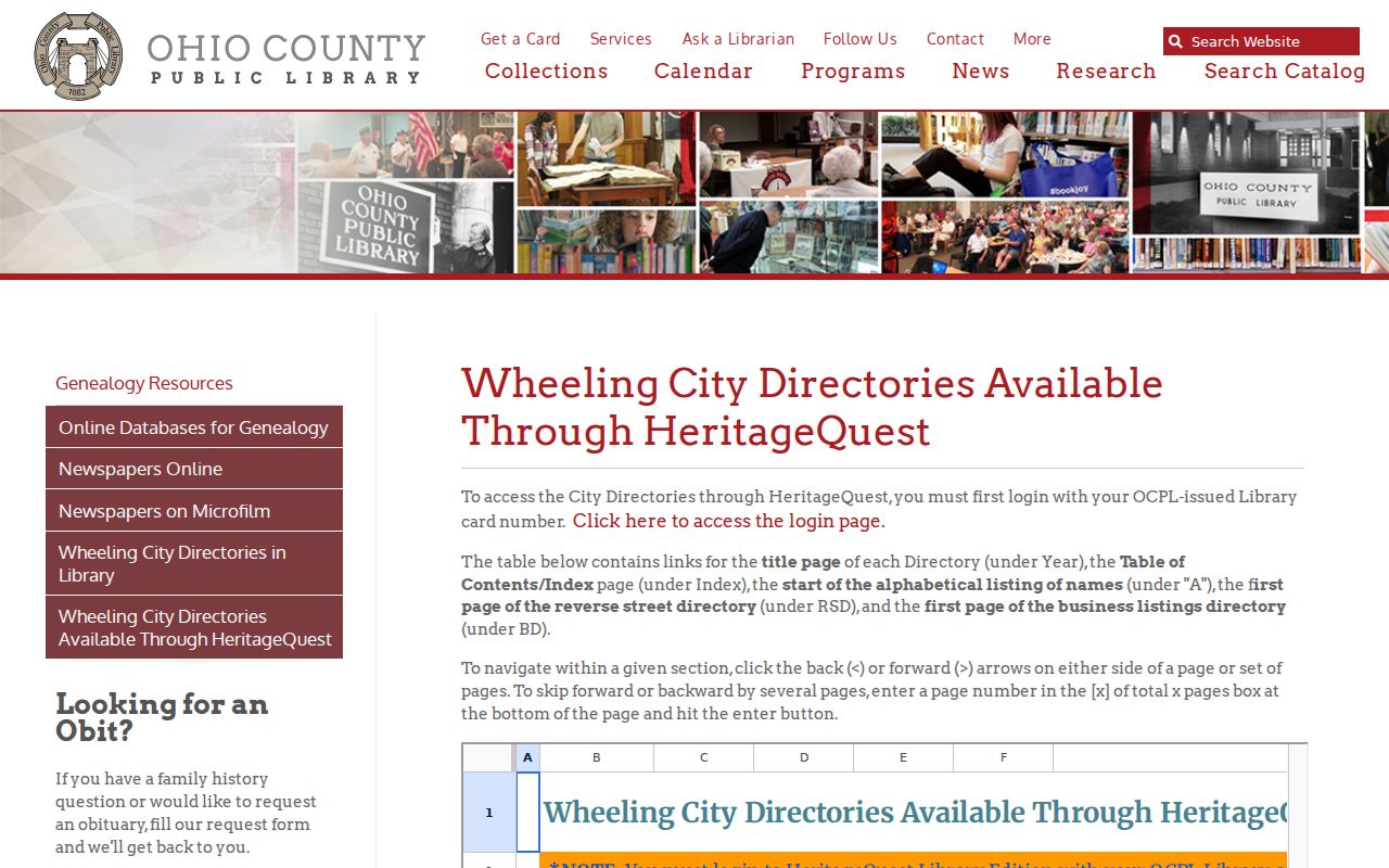
Start with the year closest to your address clue. The property description then tells you whether the occupant entry matches the parcel in question.
Historic Maps Ground a Wheeling Property Records Search
Ohio County Public Library map holdings run deep. The shelves include the 1853 Map of Wheeling and Suburbs, the 1871 map of Wheeling, South Wheeling and La Grange, and the 1901 Atlas of Wheeling. A 1913 privy-vault map and the 1918 Ohio County Farmline map complete the set. The Farmline sheet helps outside downtown. It records historic owners and boundaries, while Sanborn maps add building footprints, uses, and construction clues for several periods.
A map connects a current lot to an older street grid or building footprint. But a map is context, not proof. It is not a survey. It is not an ownership instrument either. The legal description and deed reference remain the county check, and the library's historic property guide describes its map and deed workflow.
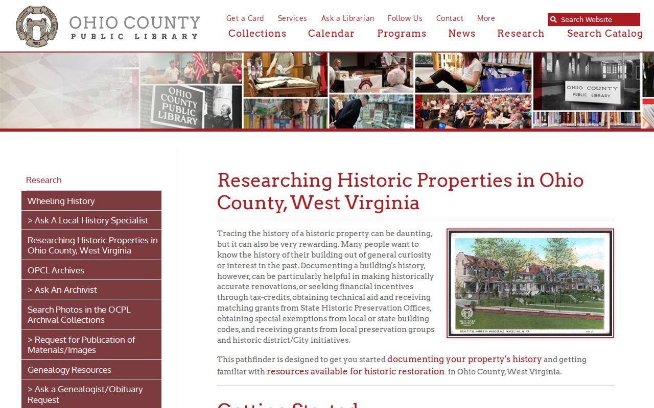
Do not lean on one map label. For a building history, compare the parcel description, the map date, and the directory address.
Wheeling Property Records by Neighborhood and District
Several names in Wheeling research are historic districts or neighborhood labels. They are not legal subdivisions. Use a name to find a city GIS layer or a nomination. Then identify the parcel through its county card and recorded plat, since a district name alone gives no lot number or deed boundary.
| District or Local Area | Historical clue | How to verify |
|---|---|---|
| Downtown Wheeling | Historic district and older urban map coverage. | City GIS overlay, nomination, county deed and plat. |
| East Wheeling and Monroe Street East | Named historic districts. | Historic-district map, assessor parcel and recorded lot description. |
| Wheeling Island | Named district with a distinct river-island setting. | City GIS overlay and county parcel geometry. |
| Wheeling Warehouse | Historic district name used in preservation records. | District nomination and the deed or plat for a lot. |
| Woodsdale-Edgwood and Highland Park | Named districts in the local preservation guide. | City GIS layer and recorded parcel description. |
| National Road corridor | Local historic corridor reference, not a parcel subdivision. | Compare the road alignment with the county card and deed. |
The Ohio County Public Library counts eleven recognized Wheeling historic districts. The city GIS district layer shows preservation boundaries. Pull the district, map, and parcel numbers from the Assessor card. Then go to the Clerk for a deed or recorded plat, and see the Ohio County parcel map guide for county and statewide map limits.
Wheeling District Layers Add Preservation Context to Property Records
Wheeling's historic-district GIS layer is where preservation questions start. Overlay it on a parcel to see whether the land falls inside a recognized district. The Ohio County Public Library catalogs the local districts. These include Downtown, East Wheeling, Monroe Street East, Wheeling Island, Wheeling Warehouse, Woodsdale-Edgwood and Highland Park. A boundary can raise a city design-review question. It still leaves the county deed, the tax account and the parcel number untouched.
Keep preservation records and title records separate. SHPO and National Register files describe buildings, not ownership. A project touching a structure belongs with city review and preservation files. An ownership question belongs with the Clerk instrument. Treating a district layer as a boundary survey is the mistake to avoid. The library's guide names the districts. It links to the city overlay (Historic Districts of Wheeling).
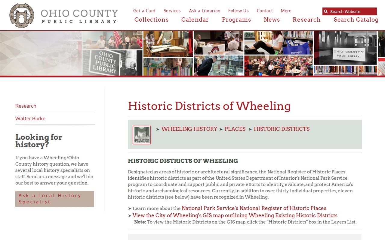
A neighborhood name alone proves nothing. Check the specific GIS layer and parcel before assuming inclusion in a designated district.
Wheeling Permits and Zoning Need an Address-Keyed Request
Wheeling publishes no field-level online permit-result portal. For building permits, code cases, zoning approvals, historic review, street and public-way files, or demolition material, the city planning, building and code custodian holds the answers. A county parcel card will not carry that municipal work history.
Give the custodian the property's current address. Also give the county map and parcel number when handy. State the record type and the time range you want. Note whether you are after an open permit, a final inspection or a zoning decision. These are the details a solid request needs. No online city form confirms such search fields.
| Request detail | Why to include it |
|---|---|
| Street address and parcel | Connect an older city file to the county lot. |
| Permit or file type | Separate building, code, zoning, historic and public-way records. |
| Date range and status | Limit the search to the period and open/final stage at issue. |
| Final inspection | Ask whether the file includes a completed inspection record. |
Postal Labels and Wheeling Parcel Boundaries Can Differ
No exhaustive Wheeling ZIP roster or ZIP-to-city crossing table exists in city sources. Verify the postal address through USPS first. Then compare the city line against the Ohio County Assessor situs address, the district, map and parcel, and the city GIS boundary. A "Wheeling, WV" mailing label can mask a nearby unincorporated or neighboring-jurisdiction address.
That distinction matters before you send a permit request. It matters too if you describe a property as inside the city. County land records run on the parcel and district. City files turn on municipal jurisdiction. When the line stays fuzzy, ask both the city and county custodians to identify the controlling boundary map. Do this rather than trusting a postal label.
Wheeling Property Value Evidence Has No Verified District Trend
The Assessor publishes no recent district-level revaluation table for Wheeling. Work parcel by parcel instead. Compare sales-history and appraisal fields. Keep assessed value distinct from market or appraised value and from deed consideration. A countywide average is never a substitute for a neighborhood trend.
Design review and rehabilitation tax-credit rules can shape project cost. They cannot change recorded ownership. For value, note the assessment field and its year. For a sale, read the Clerk deed. For the preservation layer, use the city GIS or SHPO source.
What Wheeling Property Records Can and Cannot Establish
Each record answers a different question. A county card names the tax-roll owner and parcel. A Clerk deed documents a recorded transfer. GIS geometry orients a lot; directories and maps add past addresses and building clues; city files cover permits, zoning and review. No single source certifies clear title, current occupancy, market value or a surveyed boundary.
Lawful use. Use Wheeling property records for property research, house history, due diligence and civic questions. Do not use owner data to stalk, harass or harm anyone.