
Value Figures on an Ohio County Property Record
Several distinct figures sit behind the broad label of value in Ohio County records. The Assessor card holds the assessment record. It may connect to land, building and value detail through the statewide assessment system. WV Property Viewer detail can display cost and appraised values. A sale-based clue comes from the card's sales history and from the recorded deed itself. Whatever the amount, keep its record source and field label close beside it.
| Value | What It Is | Where |
|---|---|---|
| Assessed value | Assessment record used for county tax-roll purposes. | Ohio County Assessor card. |
| Appraised value | Viewer detail field; read with its displayed source and context. | WV Property Viewer. |
| Cost value | Additional value detail shown in the viewer inventory. | WV Property Viewer. |
| Sale history or consideration | Reported sale clue, not a current appraisal. | Assessor sales history and recorded deed. |
No parcel-specific market appraisal appears in the public record. A public assessment should never be converted into a sale estimate. A deed's consideration records one past transfer, while the assessor maintains a figure for assessment purposes and may not refresh it after a sale. Read each number for what it is. The record that displays it sets its meaning.
Where the Ohio County Assessor Shows Value Fields
The local search form finds an account by owner, parcel address, account number, district, map/parcel, property type, or legal description. It also works by deed book and page. Each card carries an assessment record, sales history, a deed reference and parcel identifiers. Land and building value detail may link out through the statewide assessment system. No current reassessment schedule or online roll cutoff is published. So avoid assigning a value to a year unless the record itself states one. Search by address first when the parcel is unknown. Then keep the district, map/parcel and account number handy. When a card shows several value fields, preserve their labels. Do not merge them into one market-value claim. For a recent transfer, set the sale-history entry beside the recorded deed. Don't substitute one for the other. The Assessor's portal displays the form and parcel-card route (Ohio County Assessor Search).
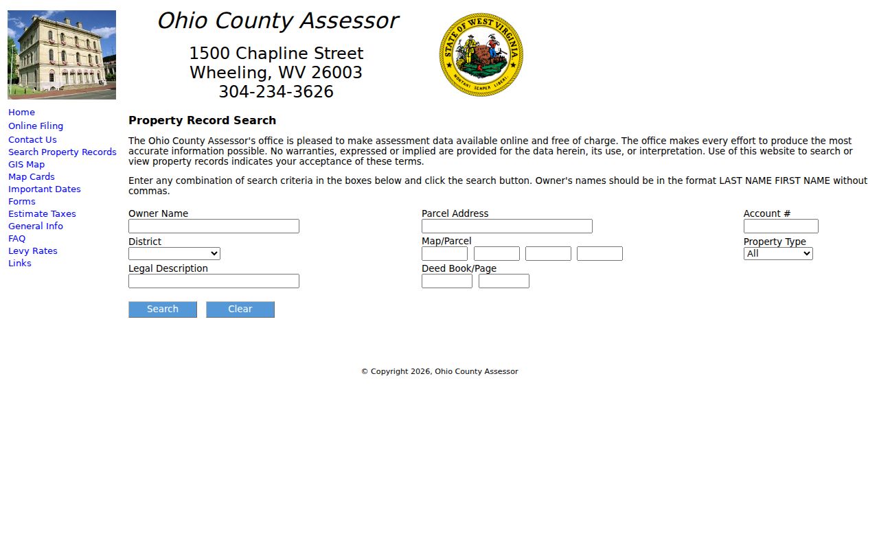
Use the field set to locate the same account. Confirm the value belongs to the intended parcel.
Compare Ohio County Values with Statewide Assessment Detail
WV Property Viewer detail includes assessment links. It may show building information along with cost and appraised values. The WV Property Assessment site offers statewide search modes, value filters and a prior-ownership mode. Statewide tools add context to the county card. Still, match any result by parcel and property address. The assessment landing page states no online coverage cutoff. A statewide value result therefore cannot establish how far back every field reaches. Keep the record date and label in your notes. For questions about the current county tax roll, use the local Assessor. WV provides a separate Property Assessment search for statewide records.
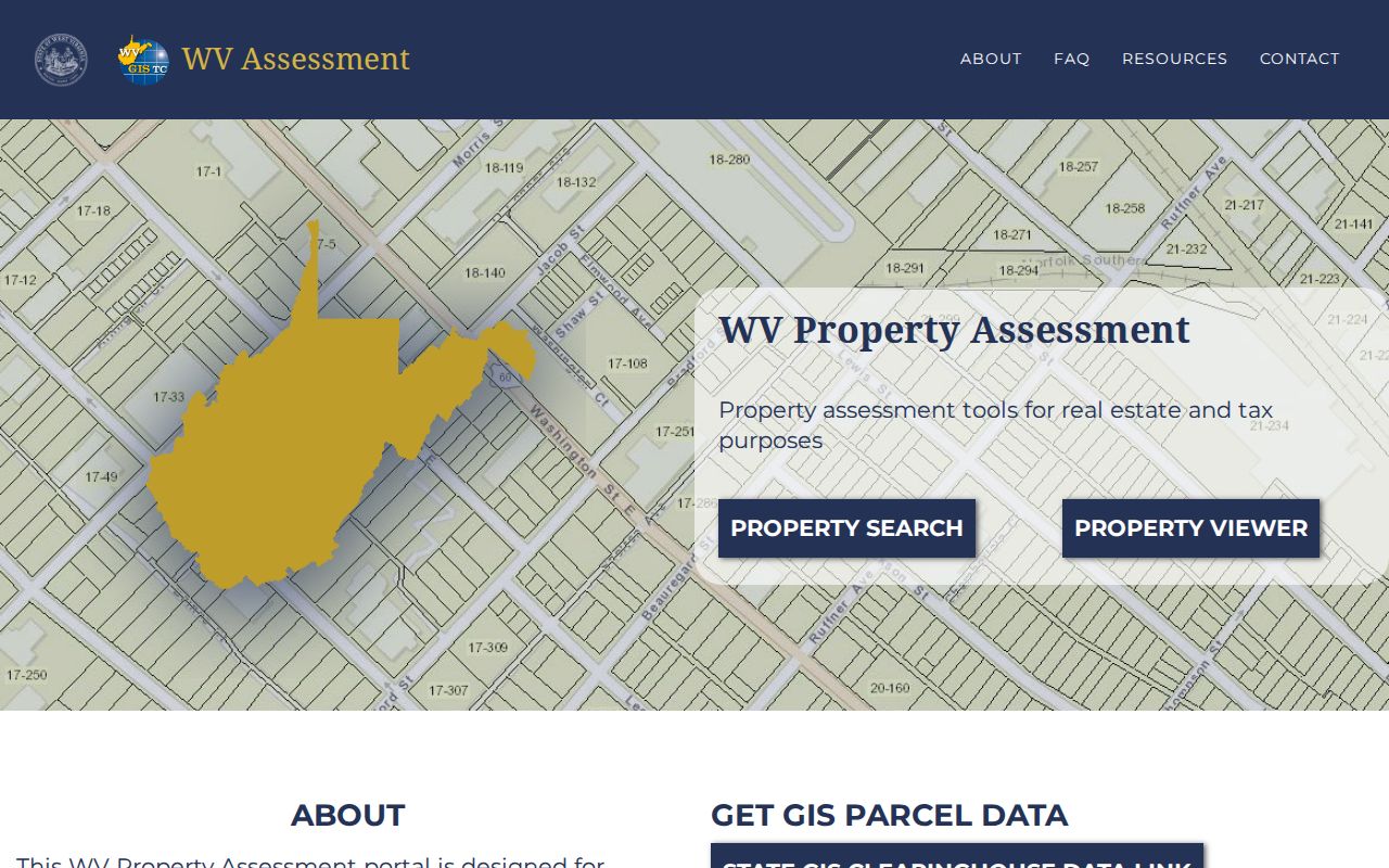
A statewide field helps with comparison. Its label and date must stay attached to the amount.
Ohio County Sale History Is Not the Assessed Figure
The Assessor card may list sales history or last-sale data. When the question is a transfer, the Clerk's recorded deed is the source to inspect. The question may also be its consideration. A sale price belongs to one transaction on one date. It may reflect conditions unique to that sale. The assessment record serves the tax roll. It can differ sharply from that past consideration. For a valid comparison, match the parcel and legal description. Note the recording date. Read the whole instrument. The Clerk's index summary is only a pointer. A newer image may take about 28 business hours to display after recording. Any value discussion should name its source and date. It should not pass off an old sale number as today's market result. Use the Ohio County deed records guide for the Clerk's index and image timing.
Look Up an Ohio County Property Value by Parcel
Find the Assessor card by situs address, owner or parcel number. Its assessment and sales-history fields come next. When the Assessor links to statewide detail, stop there. Read the displayed land, building, cost or appraised values separately. Save the search date and the label that particular record used.
- Search the Assessor using the address, owner, account or district/map/parcel fields available.
- Confirm the street address and legal description, then record the assessment fields and any displayed year.
- Open a linked statewide assessment detail only when the parcel identifiers match.
- Use sales history as a lead, and check the Clerk deed for the recorded transfer information.
- Assessed value
- A value in the county assessment record.
- Appraised value
- A separately labeled figure in viewer detail; check its source.
- Sale consideration
- A transaction-related amount in a recorded instrument, not a current price forecast.
- Reassessment cycle
- No current Ohio County schedule was verified in the reviewed research.
Wheeling Value Research Needs a District-Level Record
No official recent district-level revaluation table exists for Wheeling, Bethlehem or West Liberty. So skip the shortcut of using a countywide average. That would claim one neighborhood's property value rose by a stated amount. Compare individual Assessor cards, sales-history fields and recorded consideration instead. Use the same parcel definitions and time periods. For a Wheeling historic-district property, the planning overlay raises renovation and review questions. But it is not a valuation field. Treat the city GIS historic-district layer and National Register material as preservation context. The county Assessor and Clerk remain the records for assessment and conveyance. Rehabilitation tax-credit information may shape a project budget without changing recorded title.
What an Ohio County Assessment Does Not Predict
An Assessor figure serves one purpose, and that purpose is narrow. It is not an appraisal for a buyer or a seller. Nor is it a promise of a future sale price or a full measure of a property's condition. A sale may be older than the assessment record. Market conditions can shift after either record date. So use each Ohio County record only for the purpose and time it represents.
To compare values well, pick parcels that share a property type, location, and similar lot and building characteristics. Keep the assessment year attached to every amount you copy. Compare an Assessor tax-roll figure only against another Assessor figure. Weigh recorded sale consideration against transactions from a similar date and property context. A cost field, an appraised field, an assessed figure, and a sale price are not one measure. They do not become one just because they sit together in an online detail pane.
Ohio County publishes no recent district-level trend table for Wheeling. No current reassessment schedule is posted. One parcel card cannot prove a neighborhood is gaining or losing value. Before a purchase, refinance, tax appeal, or estate decision, confirm the exact parcel number, year, and valuation label with the record custodian. A qualified appraiser or tax professional can then put the numbers in context.
The county's online Assessor card is free to search. Use an owner, situs address, account, or map and parcel number. Save your search date and the exact field label alongside any figure you take from the card. If a building-cost or appraised-value detail is linked from the statewide GIS viewer, match its parcel identifiers before comparing it to another source. That small step keeps your property records comparison honest.
Assessment versus price. An Ohio County assessed value is for tax-roll use and is not what the parcel would sell for. Obtain a qualified appraisal for a current market opinion.