
Sources for an Ohio County Parcel-Neighbor Search
A block search pairs map geometry with parcel data one lot at a time. The statewide viewer displays nearby parcel shapes and supports searches drawn right on the map. It publishes no named adjacent-parcel or buffer command, though. Once a parcel is identified, the Assessor supplies the tax-roll name and mailing fields. Recorded plats fill the gap when the map alone leaves lot order unclear.
| Source | What It Shows About a Block | Access |
|---|---|---|
| WV Property Viewer | Parcel geometry, GIS ID, owner name and address context. | Free map and geometry search. |
| Assessor card | Current Owner, situs, mailing address and district/map/parcel for a selected lot. | Free county search. |
| Recorded plat | Lot arrangement and the subdivision description. | Clerk Deed Plat Index, Plat Books or deed attachment. |
| Historic sources | Older street occupants, maps and building context. | Ohio County Public Library and archives. |
Assessor and GIS owner fields name the owner of record, not the people currently living in a house. A mailing address can differ from the parcel location. Treat the data as boundary and property-records information. It should never be used to infer a neighbor's habits or identity as an occupant.
Use WV Geometry Search to Find Nearby Ohio County Parcels
Open the WV Property Viewer and find the subject parcel. Search by E-911 street address, parcel attributes, or a shape you draw on the map. Highlight the result. Note the GIS ID, owner names, property address, and polygon. A geometry search can return parcels around an area. The viewer offers no specific adjacent or radius tool. Identify the ring of neighbors manually.
Results are capped at 1,000, and parcel outlines appear only at close zoom. A broad search may miss narrow lots. Copy the parcel ID. Check the map at a closer scale before building any neighbor list.
Use the official WV Property Viewer for the geometry map.
Carry each candidate's parcel identifier into the Assessor search to check its owner-of-record field.
Read Each Ohio County Neighbor Card Separately
After a nearby parcel shows on the map, open its Assessor card. Record the district, map and parcel numbers. Also record the account number, street and mailing addresses, legal description, and deed book and page. Repeat for each adjacent shape. One owner can hold several parcels. Separate owners can share a street name. So never copy one card's details into another line.
The owner label is not updated on a set schedule. A nearby parcel can sell. When that happens, the Clerk's deed may be more current than the tax roll. The current owner guide explains that update issue in detail. The map page covers the broader single-parcel viewer route.
Parcel shapes come from the county GIS layer. For the map itself, see Ohio County parcel maps and GIS details.
Map a Block from One Ohio County Subject Parcel
Make the subject parcel the fixed point. Then compare every shape that touches or sits beside it. A neighbor list reads GIS geometry rather than a survey result. So treat it as an interpretation. When a road, right-of-way, or narrow gap separates two parcels, inspect the legal description. Check the plat before calling them abutting.
- Locate the subject by E-911 address or parcel attributes in the WV Property Viewer.
- Zoom until outlines appear and note the adjacent polygon IDs visible around the subject.
- Search each candidate ID in the Assessor and keep its own owner and mailing fields.
- Check a recorded plat or deed description when the shared edge or lot order matters.
- Parcel
- A tax-map unit identified through the county district, map and parcel fields.
- Adjacent parcel
- A nearby polygon that may share an edge; verify the legal description.
- Geometry search
- A viewer search using a drawn area, not a verified radius tool.
- Plat
- A recorded lot map that can explain subdivision relationships.
Historic Plats and Directories Put an Ohio County Block in Time
For a Wheeling block, the Ohio County Public Library holds directories dating to 1839 and historic maps from 1853, 1871, and 1901. Reverse-street sections run from 1898 onward. The maps can show earlier lot or building context. A directory only names an occupant. A plat and deed are still needed to establish lot arrangement and title.
The Clerk's plat routes include a Deed Plat Index, Plat Books, and attachments to deeds. Watch for a subdivision name on the parcel card. The recorded plat shows which lots are neighbors. Old names can matter more than a current street number on a block whose addresses changed.
Ohio County Postal Labels Do Not Set a Neighbor Boundary
A Wheeling mailing address can cover a nearby unincorporated parcel or a spot near another jurisdiction. The county publishes no exhaustive ZIP-to-city crosswalk. Before calling a lot inside a municipality, compare the GIS polygon and district, map, and parcel numbers with the city boundary and the Assessor street address.
This matters at a city line. Where a block crosses a municipal boundary, county deeds and tax records stay county-held while a city may keep its own permits, zoning actions, or public-way files. Ask the right office. Request those records after the parcel's location is settled.
Wheeling's historic-district guide points to a municipal GIS layer. See the historic-district records for that layer.
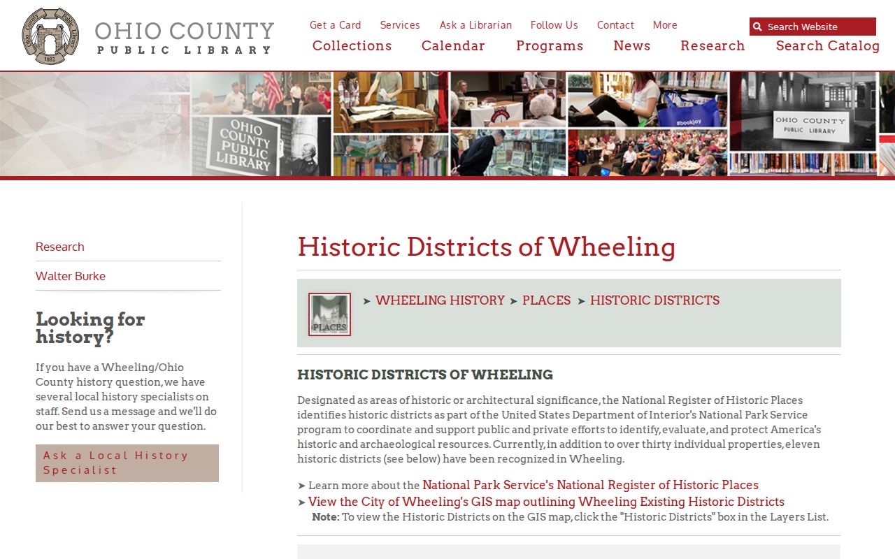
A ZIP label or neighborhood name is only a clue. Confirm the jurisdiction with the parcel boundary and the municipal source.
Privacy Limits on an Ohio County Neighbor Lookup
Ohio County parcel records answer ownership questions, not residency questions. A deed or tax roll names the owner of record. It cannot tell you who actually lives in the house. The Assessor's Current Owner field may lag behind a freshly recorded deed. Mailing addresses often point somewhere else entirely. West Virginia's Safe at Home program also shields addresses for eligible participants. So neighboring parcels should never be used to track or monitor anyone.
The county viewer is not a radius neighbor database. You can draw a search area to narrow map results, though broad searches stop at 1,000 matches. Tax-map lines are not survey boundaries either. To pin down a likely neighboring parcel, zoom until the polygons are readable. Note each GIS ID or parcel number. Then pull the deed or recorded plat if a shared line matters. City directories from Wheeling help explain who occupied a historical address in years with reverse-street sections. But a directory entry proves neither ownership nor current residence.
Municipal edges deserve equal care. A Wheeling mailing label does not place a parcel inside the city limits. Compare the parcel geometry against the municipal boundary first. Only then ask the city custodian about zoning or permits. For lot-line disputes, a recorded plat and legal description beat any map card.
Finally, keep each owner entry tied to its own parcel key. Rural tracts may lack a street number, and one mailing address can cover several tax-map parcels. When the GIS map shows only rough proximity, call the parcels nearby. Do not claim a shared boundary.
Lawful use. An Ohio County neighbor lookup is for boundary research, property diligence and civic context. Do not use names or addresses to watch, harass, target or harm anyone.