
Read the Ohio County Parcel Map by Its Search and Detail Fields
The WV Property Viewer is the county's statewide parcel and map reference. It searches E-911 street address, parcel attributes such as county, parcel number, owner and property address, or a drawn geometry. A result can return a GIS ID, owner name, address and highlighted polygon, then link to assessment details. Treat a map view and a parcel result as orientation data to carry into the county card and deed.
| Layer | What It Shows | Use |
|---|---|---|
| Address search | E-911 street address and highlighted parcel | Locate a known situs. |
| Parcel attributes | County, parcel number, owner and property address | Match a result to the Assessor card. |
| Geometry search | Drawn search area and result set | Explore parcels near a point or boundary. |
| Detail panel | GIS ID, community, flood information, assessment link and building data | Review parcel context and values. |
| Export and measure tools | KMZ, CSV, measurement, drawing and external map links | Save or compare reference information. |
Write down the GIS ID and parcel number. Then compare the district, map, and parcel details, along with the deed book and page, against the Assessor card. Recorded lot descriptions and plats sit with the Clerk's land records, so the map is a bridge rather than a destination. No viewer polygon can prove a legal boundary line.
WV Property Viewer Tools for Ohio County Parcels
Once a parcel loads, the WV Property Viewer gives you practical tools. Highlight a parcel or copy a link to save the exact view. KMZ download and CSV export are there too. Measurement and drawing options are included as well. The viewer also links to outside map services. These features help you preserve a reference view or weigh one parcel against its neighbors. Know the limits. Searches cap at 1,000 results. Outlines only appear when you zoom in close. A wide drawn-geometry search can hide later matches or thin out boundary detail.
The parcel detail screen packs in delinquent status, community, and E-911 address. Flood data, an assessment link, and owner of record appear there too. Physical address, building facts, and both cost and appraised values round out the screen. Read each field in its own context. A viewer value reflects assessment work. The consideration stated in a deed reflects a recorded transfer. For the map itself and its export tools, open the official WV Property Viewer.
Save the map link beside the parcel identifier, so any later visit lands on the exact same county record instead of a fresh hunt.
Compare Ohio County Map Selections with the Assessor Card
The Assessor's Maps page works alongside its parcel search. Pull the district, map and parcel pieces from a result. Then match them against the statewide viewer. That comparison keeps you on the right shape. The Assessor card adds legal description, deed book and page, mailing and street address, sales history, and assessment fields. When one address returns several polygons, weigh all those values before committing to a parcel.
Tax-map numbers and GIS IDs make handy keys. Neither replaces the recorded description, though. A subdivision lot often carries a plat reference. Rural property may rely on courses, distances, or adjoining tracts instead. Keep the card, the deed reference, and the map result together as one set. The county Assessor publishes its map entry point (Ohio County Assessor Maps).
Use this page to find the right county map route. Then verify the legal description through the Clerk whenever questions remain about the deed or the parcel lines.
Locate an Ohio County Parcel from a Street Address
Begin with a full E-911 street address when you have one. Switch to parcel attributes or geometry if the address is shaky. Once a polygon highlights, study its GIS ID. Check the property address as well. Confirm the district, map/parcel and account through the county Assessor search. Do that before you rely on the result. This route earns its keep when postal city names and municipal boundaries disagree.
- Search the E-911 address or parcel attributes, and use geometry only when the subject is not known.
- Highlight the candidate polygon and record its GIS ID, owner name and property address.
- Open the linked assessment detail and compare county district, map/parcel and account fields.
- Use the Clerk's deed or plat reference to check the legal description and any attached map.
- Parcel number
- The county's district, map and parcel key used to identify a tax parcel.
- Plat
- A recorded map used to describe lots or a subdivision layout.
- Lot and block
- A description that points to a lot and its recorded plat.
- Metes and bounds
- A land description expressed through boundary calls and distances.
Ohio County Plats Connect GIS Parcels to Older Lots
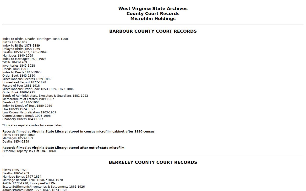
Plats reach the Ohio County records system two ways, according to the Clerk. Some ride along with a deed and appear in the Deed Plat Index. Others live in the Plat Books themselves. That split matters. An Assessor card may cite a book and page. Yet the parcel shape you need could sit in a separate filed exhibit. Check both routes. Then compare names, subdivision details, lot numbers, and adjoining descriptions against each other. A GIS map can point you toward the right book to inspect. The recorded plat, though, is what supplies the true document context. That holds for any parcel in Ohio County.
Older lots open another door. The Ohio County Public Library holds a deep map archive. It includes maps from 1853, 1871, and 1901. A 1918 Farmline map shows historic owners and boundaries beyond downtown. Sanborn sheets let you compare building footprints and land uses over time. These maps anchor house history and give old parcel records their geographic setting. They are not a current boundary survey, so treat them as context rather than proof.
The library lays out these local map resources in its historic property research guide.
Pull the volume number from an archive catalog reference first. Then check the Clerk's current access instructions before requesting an image or a microfilm reel.
Wheeling Historic Districts Need a City Map Cross-Check
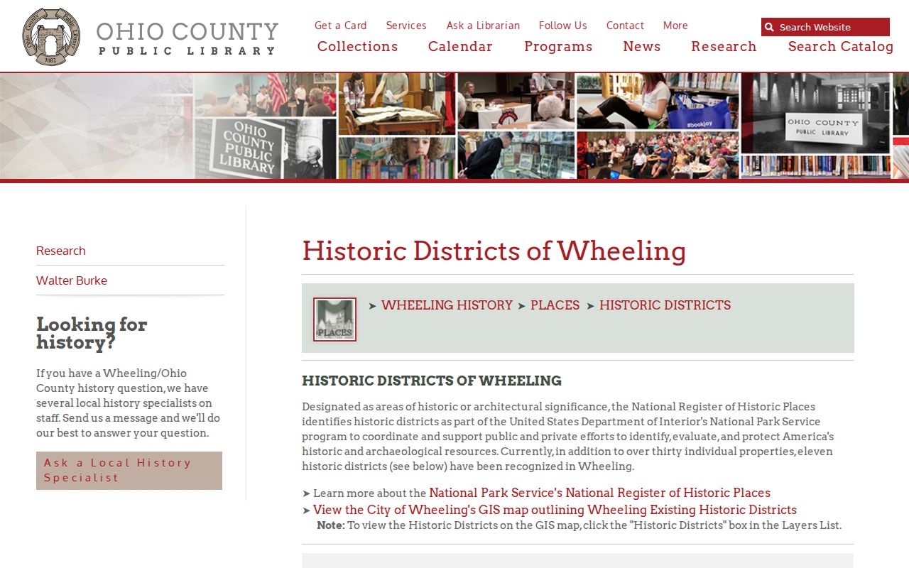
Wheeling keeps a separate layer of history on top of its parcels. The Ohio County Public Library counts eleven recognized historic districts. It points map users to the city GIS historic-district layer for the actual boundaries. Some named districts are Downtown Wheeling, East Wheeling, Monroe Street East and Wheeling Island. Others are Wheeling Warehouse, Woodsdale-Edgwood and Highland Park. Treat those names as planning labels, not as parcel numbers or tax districts. Before relying on a boundary, check the city layer. Also check any National Register nomination for the district.
A parcel sitting inside a district earns an extra review question before renovation research starts. That is all the overlay does. It does not change who holds the deed. It does not touch the county tax roll. City design review, SHPO material and county title records each answer a different question. All of them concern the same lot. The local district guide is at Historic Districts of Wheeling.
A mailing address or neighborhood label alone cannot place a parcel inside a review area. Always check the specific city GIS polygon before drawing any conclusion about district membership.
What an Ohio County Parcel Map Cannot Establish
WV parcel boundaries are best-fit reference lines built for navigation and tax-map work. They look convincing at high zoom. The Viewer itself warns they are not a survey. A GIS outline will never settle a fence line, overlap, easement, or location dispute. A broad search can also drop records. The viewer caps its results.
Treat the statewide map as a locator and nothing more. Zoom in close. Then read the highlighted polygon alongside the GIS ID, owner, address, and county fields. Compare that same district, map, and parcel against the Assessor card. E-911 address search, map selection, and drawn-area queries can each return different candidate sets. A broad search stops at 1,000 results. Shrinking the map area or tightening the address may be necessary.
Viewer tools like measurement, drawing, Copy Link, KMZ, and CSV help you preserve or review a result. They cannot touch the source record. No export turns a tax-map outline into a boundary survey. The map may surface a community name, flood information, building attributes, or cost and appraised values. Save each field with its label and check it against the cited parcel.
City overlays deserve the same caution. Wheeling's historic districts are a good example. Confirm the layer is current and that the selected lot truly intersects it. National Register boundaries, local preservation districts, parcel tax lines, and legal lot descriptions sit on separate layers. Others sit in separate records. A decision about a review or construction may hinge on the boundary. Ask the City or County Clerk for the governing source.
A useful result deserves saving. Keep the GIS ID, displayed owner, address, and parcel key through Copy Link or an export. A CSV or KMZ makes reviewing a batch of candidates easier. Every row still needs a match to the local card and deed. A drawn search narrows the map; it does not promise every bordering parcel comes back.
Not a survey. Use a recorded deed and plat for the legal description, and ask a licensed surveyor to establish a boundary before relying on a line for construction or a dispute.